
Our flood risk assessment service supports development teams preparing planning submissions or responding to a defined flood-risk issue. The report is based on the proposed use, current design and the flood evidence relevant to that decision.
Flood Risk Assessment Service
Flood evidence, future conditions and mitigation assessed against the current development proposal and planning question.
Flood Risk Assessment Service enquiry
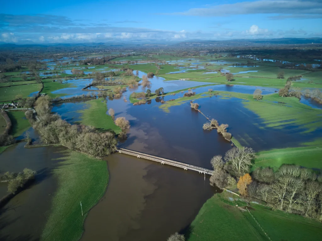
Sources of flooding
The assessment considers the relevant river, surface-water, groundwater and other flood sources for the location.
The proposed site levels
Layouts, floor levels and access arrangements need to be considered against the identified flood conditions.
Flood-risk evidence for the proposed development
A planning condition, validation requirement and a new development proposal can require different evidence. Authority correspondence, the site plan, proposed use and design stage are read together so the assessment answers the planning question actually being considered.
Level surveys, drainage records, flood mapping and local evidence may be enough to resolve some issues. Where they are not, further data or modelling is identified rather than replaced with assumed levels or unsupported design conclusions.
Discuss flood risk assessment service
Complete the form and we will get back to you.
Flood mitigation and the design response
The assessment considers relevant flood sources, development lifetime, safe access and effects elsewhere as appropriate to the proposal. Mitigation is reflected in the drawings and linked drainage work so the report and design remain consistent.
The report identifies its assumptions, data limitations and the version of the scheme assessed. A material change to levels, use, access or drainage can require review, and the planning authority remains responsible for its decision.
Flood data, climate change and planning
Environment Agency information, local evidence and survey data can each contribute to the assessment. Current climate-change allowances and surface-water information are considered where relevant, including on sites in Flood Zone 1 where low river and sea probability does not remove every other flood-risk question.
Flood Risk Assessment Service: common questions
Can a planning condition and a new planning application need different flood evidence?
Yes. The question being decided, proposed use, layout and available evidence determine what the flood risk assessment needs to address.
Can the report be completed before the layout is known?
Early advice can inform a layout, but a final assessment needs defined development assumptions.
Will a revised development need a revised assessment?
It may. Changes to footprint, levels, use or drainage must be checked against the original conclusions.
Who decides whether the flood evidence is acceptable for planning?
The relevant planning authority makes that decision. Our role is to prepare the assessment and respond to technical questions within the agreed work.
Can new flood information change an earlier assessment?
Yes. Updated mapping, model data, local evidence or climate-change allowances can require the conclusions or mitigation to be reviewed.