Environment Agency river monitoring stations
This uses Environment Agency flood and river level data from the real-time data API (Beta).
Data retrieved: 27 Oct 2026, 11:58 GMT
Open Government Licence v3.0
Land, water, waste, planning, compliance and specialist site services.
Request a quoteSearch Environment Agency monitoring stations in England by postcode, river or place. View available water level and flow measurements, their units and recording times, alongside published flood warnings and alerts where available.
Environment Agency monitoring stations and published flood warnings and alerts in England, subject to the records available from each source. Individual measurements may have different recording times and update frequencies.
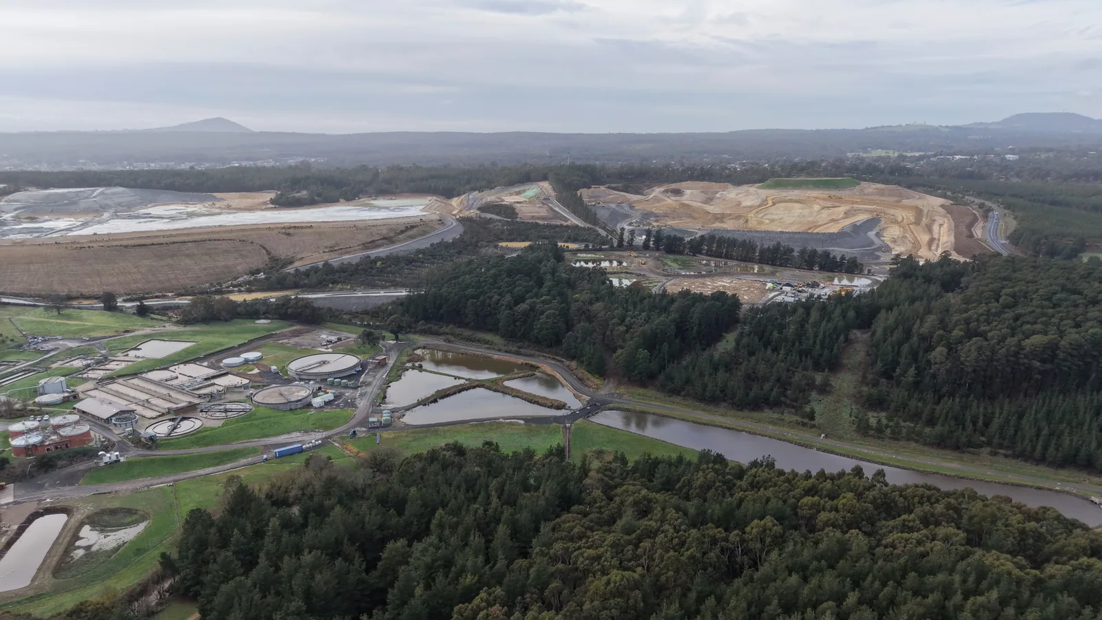
River Brock · Bilsborrow
River Little Ouse · Abbey Heath
River Twyver · Gloucester
River Wyre · Abbeystead
River Graveney · Streatham
River Stert · Abingdon
River Ock · Abingdon
River Thames · Abingdon
Radley Park Ditch · Abingdon
River Roding · Abridge
River Bure · Acle
Birkey Burn · Acomb Garden House
Source checked: 1 Nov 2026, 00:30 GMT
No entries were returned for this selection at the recorded source check time.
Published DfI Roads gully asset records for adopted roads in Northern Ireland. Asset locations reflect the source dataset and may not represent every drainage feature on the ground. Search is by road name or council area.
Drains UnblockingOfwat regional sewerage service boundaries for England and Wales, based on the April 2024 dataset, and published Scottish Water sewer catchment boundaries for Scotland. Source and reference dates are shown with individual records where available.
Drain CCTVPublished Scottish Water records of its operational public septic tank sewage treatment works in Scotland. The dataset excludes privately owned tanks and is not a complete register of septic systems.
Septic EmptyingEnvironment Agency storm overflow annual returns for England, covering reporting years 2020 to 2025 where published data and reliable record matching allow. Records reflect the relevant annual return and any documented corrections.
Sewage Tank CleaningA monitoring station records conditions at a particular location. Water level measurements can use different reference points, so readings from separate gauges are not always directly comparable. Check the measurement type, unit, reference level and recording time before interpreting the figures. Measurements from the same gauge can help show how conditions have changed. Published flood warnings and alerts provide separate information about flood risk. Neither a river reading nor a nearby warning establishes why water is collecting at an individual property.
Describe the location and the issue you are investigating. Include any plans or existing reports when enquiring about a flood risk assessment, drainage strategy or environmental consultancy.
This uses Environment Agency flood and river level data from the real-time data API (Beta).
Data retrieved: 27 Oct 2026, 11:58 GMT
Open Government Licence v3.0This uses Environment Agency flood and river level data from the real-time data API (Beta).
Data retrieved: 1 Nov 2026, 00:30 GMT
Open Government Licence v3.0This uses Environment Agency flood and river level data from the real-time data API (Beta).
Data retrieved: 27 Oct 2026, 11:58 GMT
Open Government Licence v3.0Contains OS data © Crown copyright and database right 2026. Contains Royal Mail data © Royal Mail copyright and database right 2026.
Data retrieved: 27 Oct 2026, 12:04 GMT
Open Government Licence v3.0Contact us to discuss the work and request a quotation.