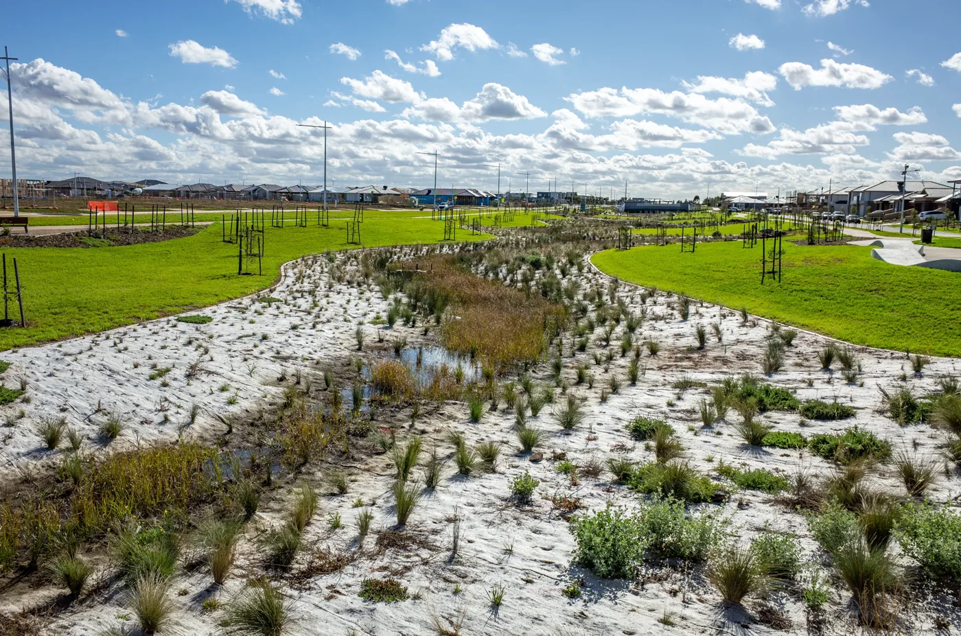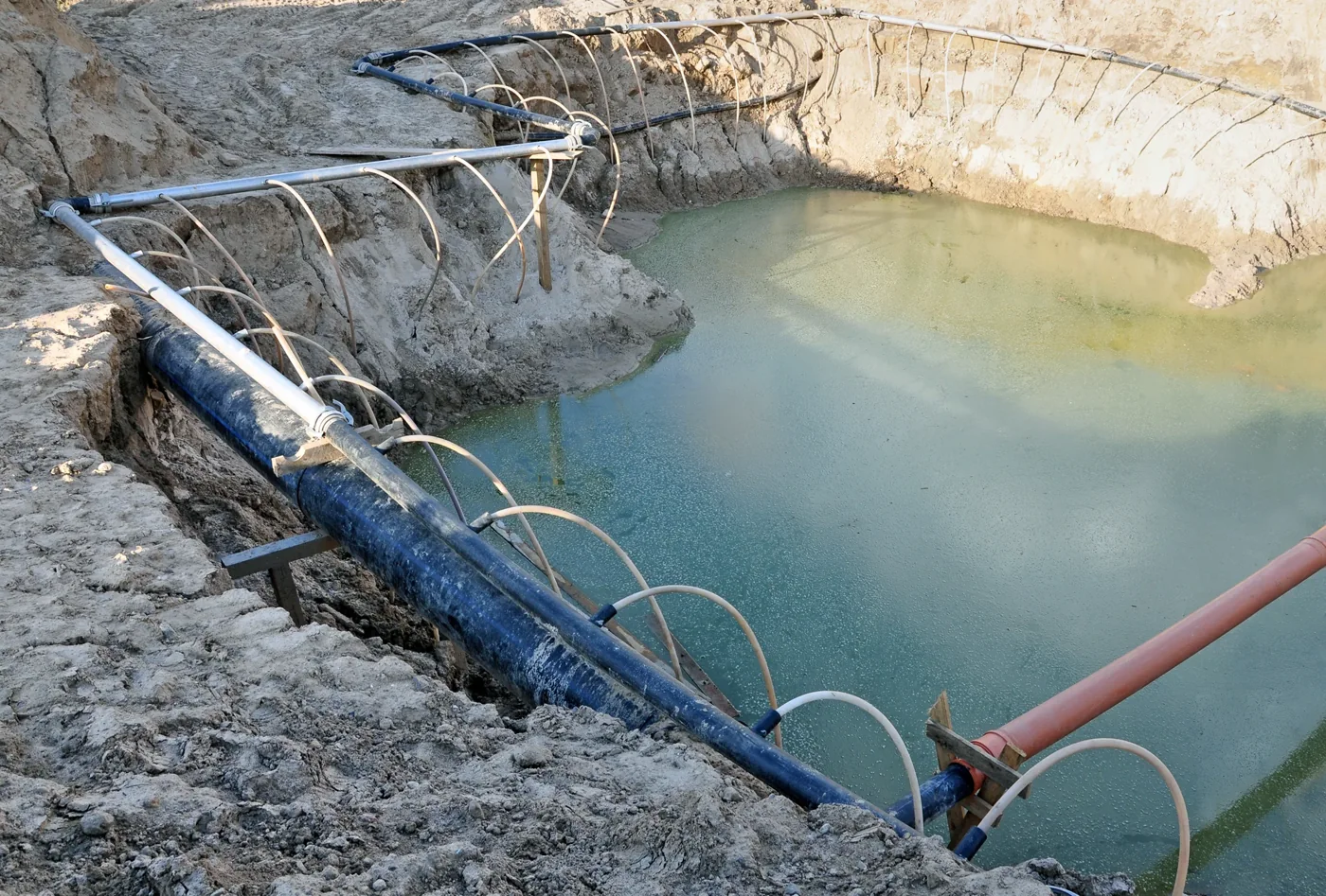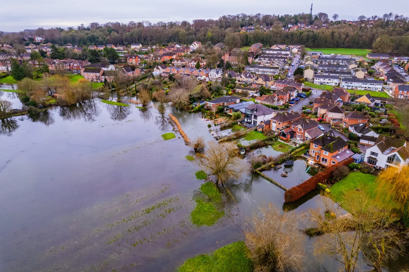
A development site can have a low probability of flooding from rivers and still experience significant surface water flooding. Heavy rainfall can collect in low-lying areas, flow across neighbouring land or overwhelm local drainage without any river overflowing. For a commercial developer in England, the important distinction is between the mapped probability of river flooding and the separate behaviour of rainfall across the site’s catchment.
What river flood zones do not show
England’s flood zones primarily describe the probability of flooding from rivers and the sea. Flood Zone 1 represents land with a low probability of flooding from these sources. It does not establish that land is free from flooding caused by intense rainfall, groundwater or local drainage conditions.
Consider an industrial plot on elevated land some distance from the nearest river. Its position might place it comfortably outside the higher river flood zones. However, if surrounding roads and fields slope towards the plot, rainwater may collect around proposed buildings and loading areas during a storm.
The Environment Agency maintains separate surface water flood mapping for England. This indicates where rainfall may accumulate or move across the ground. The mapping is useful for screening potential exposure, but its resolution and modelling assumptions mean it cannot establish the precise behaviour of water around an individual building.
A site’s apparent absence from mapped surface water risk areas therefore needs to be considered alongside its levels, drainage infrastructure and surrounding development. For development planning in England, use the Environment Agency’s flood map for planning and the relevant local flood-risk evidence rather than relying on the national surface-water screening map alone.
How intense rainfall creates local flow routes
Surface water flooding occurs when rainfall cannot infiltrate into the ground or leave an area quickly enough through existing drainage. Water then follows available pathways, often determined by relatively small differences in ground level.
Several physical characteristics can increase exposure:
- Upstream hardstanding: Roads, roofs and yards produce runoff that can reach neighbouring land more quickly than rainfall falling on permeable ground.
- Local depressions: Vehicle access ramps, loading bays and sunken service yards may collect water even where the wider site is relatively elevated.
- Restricted drainage: Limited inlet capacity, drainage restrictions or high downstream water levels can prevent rainfall from leaving the site at the required rate.
- Changes in land levels: Retaining walls, embankments and raised platforms can interrupt existing overland flow routes and redirect water towards other properties.
Overland flow is particularly important because the source of flooding may lie outside the development boundary. A site can receive runoff generated across a much larger surrounding area. Conversely, raising land or altering the layout could transfer an existing flow problem downstream.
The assessment must therefore consider both water entering the site and water leaving it, rather than concentrating exclusively on the proposed building footprints.
Decide what surface water evidence the proposal needs
The starting point is to compare national mapping with the actual development layout. Existing and proposed levels, drainage records, ground conditions, neighbouring land and any known flooding history help establish whether a mapped flow route is credible.
For a straightforward plot, this evidence may identify manageable local issues. More complicated developments, particularly those intersecting significant flow routes or containing vulnerable access points, may require detailed hydraulic analysis to understand flood depths, directions and residual risks.
Climate change also affects the decision. The Environment Agency’s peak rainfall intensity allowances inform how future rainfall should be considered in surface water assessments and drainage design. The appropriate allowance depends on the location, assessment scenario and development lifetime.
Practical design responses might involve adjusting finished floor levels, maintaining clear flow corridors, placing storage away from vulnerable infrastructure or changing the position of access routes. These measures must be evaluated together because protecting one part of the site should not create an additional flooding problem elsewhere.
A Flood Risk Assessment can bring the different flood sources, existing evidence and proposed development into a single evaluation. Where runoff management is also being designed, the SuDS Design and Drainage Strategy addresses how surface water will be managed after construction.
The central question is not simply whether the land sits outside a river flood zone. It is whether rainfall can reach, accumulate within or escape from the development in ways that affect its intended use or neighbouring property.